Skip to content


How the DJI Matrice 400 Mapped a 650 m Deep Gold Mine in 15 Minutes
- by Megan Wood
Surveying a deep open-pit mine usually means several flights, long hours and a weak signal near the pit floor. A recent project in Western Australia shows how the DJI Matrice 400 and Zenmuse L3 LiDAR sensor captured an entire mine in one short flight.
The challenge at the KCGM Super Pit
The KCGM Super Pit in Kalgoorlie is huge. It stretches 3.5 km long and 2.5 km wide, and plunges 650 m into the ground.
Before this project, a full survey took five separate flights and close to three hours in the air. Flying down into the pit also brought a constant risk of losing signal near the floor, which is the last thing you want with an aircraft deep below the rim.
One flight from the rim
This time, the team flew a single, level pass above the pit, with no need to descend into the mine.
In DJI Pilot 2, they imported the mine boundary as a KML file and generated a grid route automatically. The mission flew 220 m above the rim at 25 m/s, with more than 40% side overlap and repetitive scanning switched on. Repetitive scanning sends the laser over the same area several times, building a denser point cloud.
The result was a full LiDAR scan of 5.4 km² in just 15 minutes, with a stable signal throughout. Point cloud data streamed live to the ground team, so they could check quality on the spot rather than waiting for processing.
From raw data to usable outputs
Back at the office, the data was processed in DJI Terra in around 1.5 hours. The software classified ground points automatically and produced both a DEM (digital elevation model) and a DOM (digital orthophoto map).
Vertical accuracy was under 10 cm across the full depth of the pit, including elevation drops of more than 700 m.
For the mine, the real value is speed. Faster scans mean the geology team can survey more often and make better decisions about where the ore sits and where the excavators should dig next.
Why the Matrice 400 suits large-scale surveys
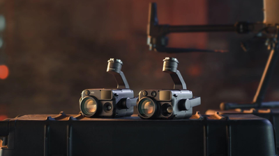
This project plays to the Matrice 400’s strengths. Long-range, stable transmission let it scan from the rim without flying into the pit, and its ability to carry the Zenmuse L3 brings high-accuracy LiDAR to sites that once needed multiple flights.
The same approach works well beyond mining, from quarries and stockpiles to large construction sites and infrastructure corridors. Coptrz supplies the Matrice 400 and Zenmuse L3, along with the training and support to get your survey team up and running.
FAQs
Can a drone survey a deep open-pit mine without flying into it?
Yes. At the KCGM Super Pit, the Matrice 400 and Zenmuse L3 scanned from 220 m above the rim, capturing data all the way to the pit floor.
How long did the Matrice 400 survey take?
The flight took 15 minutes to cover 5.4 km², and processing in DJI Terra took around 1.5 hours.
How accurate was the LiDAR data?
Vertical accuracy was under 10 cm across the full depth of the pit.
Final thoughts
Planning a large survey project? Take a look at the DJI Matrice 400 from Coptrz.