Skip to content


How DJI Put Its Drones To The Test On Mount Everest In 2026
- by Stefan Gandhi
DJI has completed three high-altitude missions on Mount Qomolangma, also known as Mount Everest, using drones to move supplies, map hazardous terrain, and gather climate data at extreme altitude. The 2026 tests put the new DJI FlyCart 100 delivery drone and the DJI Matrice 4E mapping drone to work on the Nepalese South Slope, while DJI's first eVTOL delivery drone, the EV50, supported atmospheric research on the Chinese North Slope. This guide breaks down what each drone achieved on the world's highest peak and why it matters for commercial operators working in demanding environments.
Why DJI Took Its Drones To Mount Everest
Everest is one of the harshest testing grounds on the planet. Sub-zero temperatures, thin air, unpredictable winds, and sheer altitude push flight systems, batteries, and positioning hardware to their limits. Proving a drone here builds real confidence in how it will perform on cold mountain surveys, remote inspection work, and delivery over difficult ground much closer to home.
The 2026 missions continue a long DJI thread on the mountain. A DJI Mavic 3 captured the first drone footage of the summit at 8,848.86 metres in 2022, and the DJI FlyCart 30 ran the first drone delivery tests from Base Camp to Camp 1 in 2024. This year raised the stakes with heavier loads, larger survey areas, and a brand new eVTOL platform.
High-Altitude Delivery With The DJI FlyCart 100
The DJI FlyCart 100 is a heavy-lift delivery drone that carries up to 100 kilograms at sea level over longer distances with improved power efficiency. Working with Nepalese drone company Airlift, DJI used it to shuttle climbing gear such as oxygen tanks, ropes, and ladders between Base Camp and Camp 1, then carry waste back down on the return leg.
The numbers are striking. The FlyCart 100 lifted up to 47 kilograms at a test altitude above 6,300 metres, and a single one-way flight took just eight minutes. In total the tests moved 10,073 kilograms of supplies and waste, made up of 7,215 kilograms of climbing supplies carried up and 2,858 kilograms of rubbish brought down. The same trip on foot forces Sherpas to trek six to eight hours and cross the hazardous Khumbu Icefall.
That speed and safety gain scales far beyond Everest. Any operator moving payloads across water, quarries, construction sites, or remote infrastructure can see the appeal of an eight minute flight replacing a long and risky manual carry.
Centimetre-Level Mapping With The DJI Matrice 4E
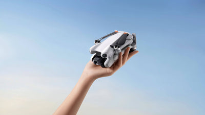
The DJI Matrice 4E handled the survey side of the project. Throughout the Spring 2026 climbing season, the compact enterprise drone mapped more than 3 square kilometres of the Khumbu Icefall core at centimetre-level detail, covering Base Camp, the icefall, and the ground above Camp 1 in just 3.5 hours. It did this at an altitude of 6,450 metres in temperatures below minus 20 degrees Celsius.
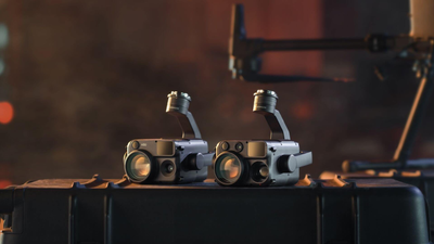
Its onboard Laser Range Finder took precise real-time distance and terrain measurements, which teams used to mark and share hazard locations. The drone also acts as a second pair of eyes for search and rescue, detecting movement against snow-covered ground. According to Airlift Technology CEO Raj Bikram Maharjan, this level of detail and real-time safety focus is a first of its kind in Nepal and potentially one of the first operational uses globally at this scale in a high-altitude expedition environment.
Climate Research With The DJI EV50 eVTOL
DJI also flew its first eVTOL delivery drone, the DJI EV50, to study atmospheric pollutants in the ultra-high troposphere. Over 12 days it carried ozone-measuring equipment from Peking University 12 times from the base camp inside the Qomolangma National Reserve, using spiral ascents and reciprocating flight patterns to cope with complex winds. Its most successful flight reached a maximum altitude of 8,861 metres with a continuous climb of 3,730 metres, marking the first time the university's researchers used drones for high-altitude troposphere observations.
What The Everest Missions Mean For Commercial Operators
The headline here is not a record attempt, it is proof of reliability. Heavy-lift delivery, high-resolution mapping, and airborne data capture all held up in conditions far more punishing than most commercial jobs will ever throw at them. For UK operators planning cold-weather inspections, upland surveys, or logistics over difficult terrain, that is a strong signal of what current DJI enterprise platforms can deliver.
FAQs
Can drones fly on Mount Everest?
Yes. DJI has flown several drones on Everest, including the Mavic 3, FlyCart 30, FlyCart 100, and Matrice 4E. Thin air and extreme cold make flight harder, but purpose-built enterprise drones with strong power systems and RTK positioning can operate at Base Camp altitudes and above.
How much weight can the DJI FlyCart 100 carry?
The DJI FlyCart 100 carries up to 100 kilograms at sea level. During the Everest tests it lifted up to 47 kilograms at an altitude above 6,300 metres, since payload capacity reduces as air gets thinner at high altitude.
What is the DJI EV50?
The DJI EV50 is DJI's first eVTOL delivery drone. On Everest it carried atmospheric research equipment on long-distance, high-altitude flights, reaching a maximum altitude of 8,861 metres during climate change research on the North Slope.
How high can a DJI drone fly?
Most consumer DJI drones have a service ceiling of around 6,000 metres. Enterprise and delivery platforms can go higher, and during the 2026 research flights the DJI EV50 reached 8,861 metres, close to the height of the Everest summit.
Final Thoughts
The Everest missions show how far commercial drone technology has come. Delivery, mapping, and research payloads all performed in an environment that punishes any weakness, and the practical wins, from clearing 2,858 kilograms of waste to mapping the icefall in hours, translate directly into safer and faster work on the ground. For operators, the takeaway is simple: the enterprise platforms proving themselves on the highest peak on Earth are the same class of drone available to buy today.
Explore DJI's mapping and inspection platforms in the enterprise drones range at the Coptrz official online store, and for heavy-lift or high-altitude delivery projects like the FlyCart, speak to our enterprise team at sales@coptrz.com or on 0330 111 7177.