 Safe and Secure Checkout


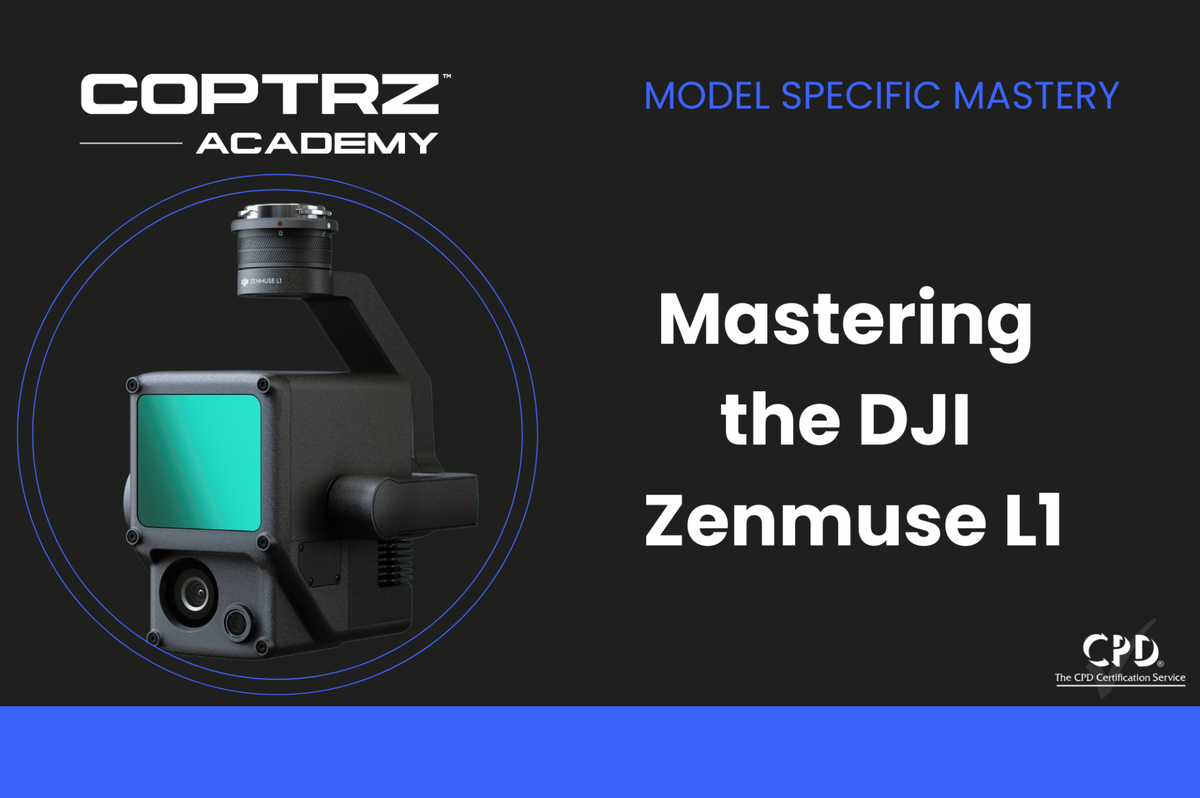
Mastering the DJI Zenmuse L1
£0.00
DESCRIPTION
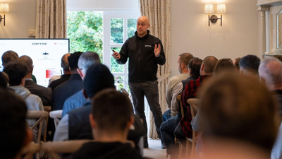
This is a CPD certified training program that introduces participants to the DJI Zenmuse L1 drone, equipped with LIDAR technology for aerial surveying and mapping. The course covers key features of the Zenmuse L1, including its LIDAR payload and complementary cameras. Participants will learn data capture techniques, post-processing using DJI Terra software, and explore real-world applications such as topographic surveys and infrastructure reconstruction. The course concludes with a summary of essential concepts and an end-of-course exam to reinforce knowledge. Upon completion, learners will be well-equipped to utilise the DJI Zenmuse L1 drone effectively for various professional surveying and mapping tasks.
DELIVERY & RETURNS
DELIVERY
- Standard delivery is FREE on all UK orders over £99. For orders below £99, our standard shipping is £5.99. All shipments are sent via next working day delivery in the UK. Free shipping does not apply to equipment hire orders.
Online orders placed by 12.30pm will be dispatched same day from our warehouse/distribution partners. Orders placed after 12.30pm will be dispatched on the next working day (excluding weekends and bank holidays).
Your order should be with you on the next working day from dispatch. If you haven't received your order within 5 working days, then please log-in to your account and you will be able to find the status there. If you checked-out as a guest and/or don't have an account, then please get in touch for help by contacting our team at services@coptrz.com.
Currently we only ship to the UK but hopefully soon we'll be in more countries.
Digital products purchased on shop.coptrz.com like online training courses (incl. F2F training courses), drone service plans and e-gift vouchers are exempt from shipping costs, no matter their selling price.
RETURNS
We’re committed to making your shopping experience seamless. Coptrz has a 30-day return policy for consumer purchases, which means you have 30 days after receiving your item to request a return. To be eligible for a return, your item must be in the same condition that you received it, unused, and in its original packaging (unless the product is faulty). You’ll also need the receipt or proof of purchase. To start a return, you can contact us at services@coptrz.com. If your return is accepted, we’ll send you instructions on how and where to send your package. Items sent back to us without first requesting a return will not be accepted. You can always contact us for any return question at services@coptrz.com. If you are a corporate business, Coptrz standard terms and conditions apply (call our customer support team at 0330 111 7177).
Damages and issues
Please inspect your order upon reception and contact us immediately if the item is defective, damaged or if you receive the wrong item, so that we can evaluate the issue and make it right.
Exceptions / non-returnable items
Certain types of items cannot be returned under this policy, such as custom-made goods, online training courses or activated drones/software. For detailed terms and guidance, feel free to contact us at services@coptrz.com. Please get in touch if you have questions or concerns about your specific item. Unfortunately, we cannot accept returns on gift cards.
Exchanges
The fastest way to ensure you get what you want is to return the item you have, and once the return is accepted, make a separate purchase for the new item.
Refunds
We will notify you once we’ve received and inspected your return, and let you know if the refund was approved or not. If approved, you’ll be automatically refunded on your original payment method. Please allow at least 3-5 working days for your refund to be processed once it has been approved by our team.


